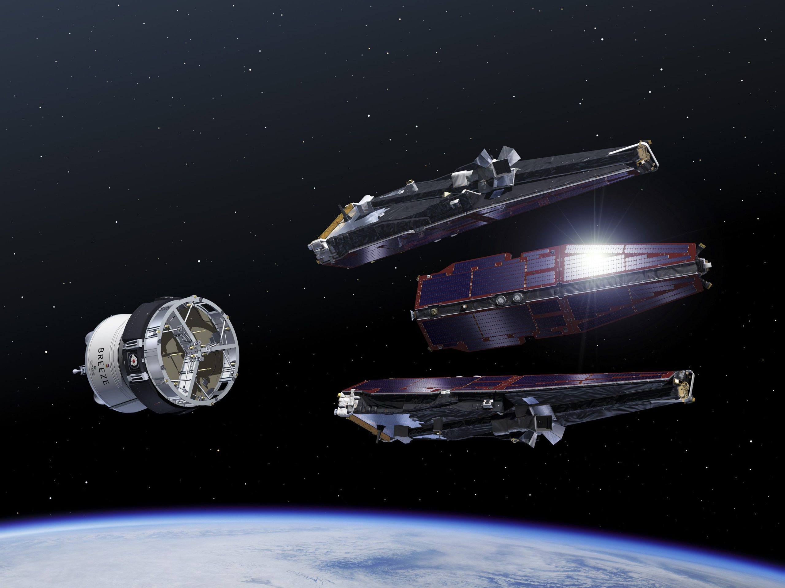
Sometimes a swarm of small satellites works better than a big one. The future in remote sensing could well be in tiny, affordable cooperating satellites. TU Delft hosts a conference on formation flying satellites from June 8-10, 2015.
The list of attendants shows people coming from Russia, China and the United States, but also from smaller countries like Italy, Germany, Finland, Spain, Egypt and indeed the Netherlands. Swarm satellites may be more affordable than regular space missions, yet at the same time they offer distinct advantages through the possibility of distributed synchronised sensing.
Over the next few days, the 80 participants will discuss experiences, results and new plans in 44 lectures and 13 poster sessions. Co-chair and organiser of this year’s 8th International Workshop on Satellite Constellations and Formation Flying (IWSCFF) is Professor Eberhard Gill (Space Systems Engineering at the Faculty of Aerospace Engineering). He acts as a host for the International Astronautical Federation (IAF) in Delft for the TU Delft Space Institute that was ‘launched’ on May 19, 2015.
Keynote speaker and TU alumnus Dr. RuneFloberghagen spoke about ESA’s Swarm mission. It consists of three satellites called Alpha, Bravo and Charlie that map the Earth’s magnetic field. It was launched in November 2013. Floberghagen is the mission manager, just as he was with ESA’s gravity mission GOCE. The constellation consists of one satellite (Bravo) in a higher orbit (530 km) and two satellites below (490 km to start with, slowing down to 300 km). This distributed set-up results in a higher resolution of the local magnetic field (270 km instead of 1000 km previously).
The first results show a large variation (factor 3-4) in magnetic field strength. It also confirms a global decrease in magnetic strength of 5 % per century, but locally the magnetic field may weaken ten times faster. “Some see this as a sign that the Earth’s magnet poles are about to flip”, said Floberghagen. “I cannot comment on that, but I will not contradict them either.”
The higher resolution magnetic maps have already found their way in most smartphones. The magnetic strength and direction has been incorporated in maps to improve the user’s orientation. Another use of better local magnetics is precision drilling, as underground the only directional tool left is the magnetic orientation of the rocks.
Over the next few days, researchers will discuss other applications of swarm satellites from various modes of remote sensing to the hunt for exoplanets. They will discuss the challenges and benefits of tethered satellites versus free-flying ones with or without propulsion. Check the workshop’s website for the full program and related information.


Comments are closed.