The sea bed of the North Sea is mostly gravel, sand and mud. But how come some areas are more prolific or vulnerable than others? A team of scientists went on an expedition last summer to find out.

A diver inspects the seabed at Borkumer Stones. (Photo: Udo van Dongen/Stichting de Noordzee)
Researchers from TU Delft, Groningen University, and the maritime research institute, NIOZ, joined an Oceana Foundation expedition from 3 to 15 August 2017. The expedition sailed from Borkumer Stones westwards, towards the Dogger Bank. Its mission, called project DISCLOSE, was to get information on the seafloor in order to identify vulnerable areas.
 On board the Neptune, Leo Koop checks the multibeam echo sounder settings. (Photo: OCEANA/Carlos Minguell)
 TU Delft acoustic expert, Leo Koop, was on board to operate the multibeam echo sounder. Mounted under the ship’s keel, the sonar emits up to 50 ‘pings’ per second and registers the reflection to gather information about depth, distance and seabed composition. As the multibeam is coupled to the ship’s GPS, it also generates coordinates with the sonar data.
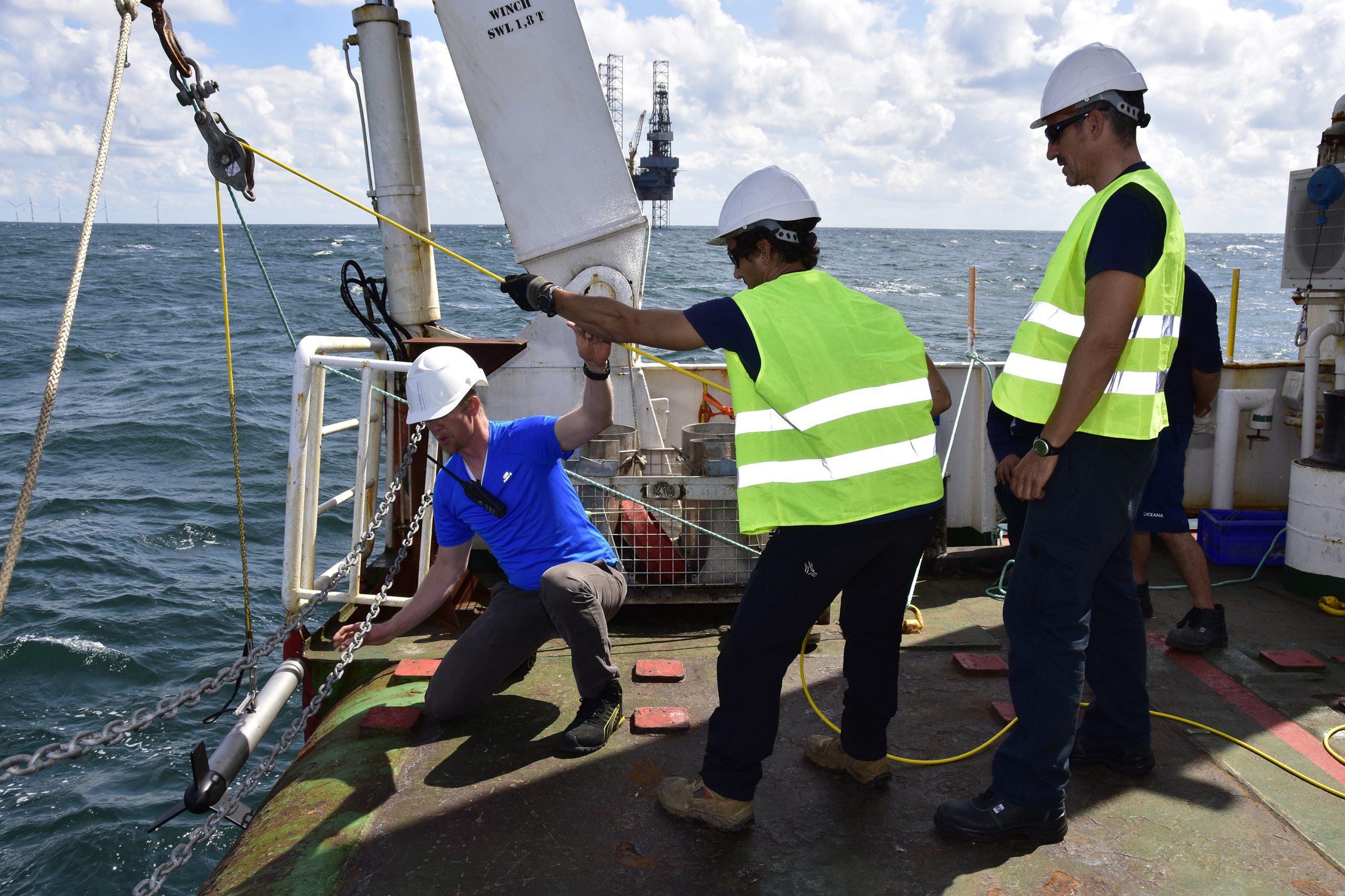 Leo Koop (in blue) launches the side scanning sonar with the help of Neptune’s crew. (Photo: OCEANA/Carlos Minguell)
Koop also uses a side scan sonar (SSS), which is towed behind the ship. The sonar operates at between five and fifteen metres above the seabed. As it can access greater depths, it provides more details than the multibeam echo sounder under the ship.
 Karin van der Reijden prepares the towed video camera for launching. (Photo: OCEANA/Juan Cuetos)
Karin van der Reijden (Groningen University) is interested in the distribution of life over the seafloor. She uses photos and videos shot from a specially designed towed camera that ‘flies’ about one metre above the seabed. On the Dogger Bank she mainly saw sand, shell fragments and flatfish.
 Sarah O’Flynn adjusts the sediment profile camera. (Photo: OCEANA/Carlos Minguell)
Sarah O’Flynn (NIOZ) watched the seafloor up-close. The sediment profile camera takes images of the interaction in the top few centimetres of the seafloor and the water just above it. It is in this thin layer that most life processes occur.
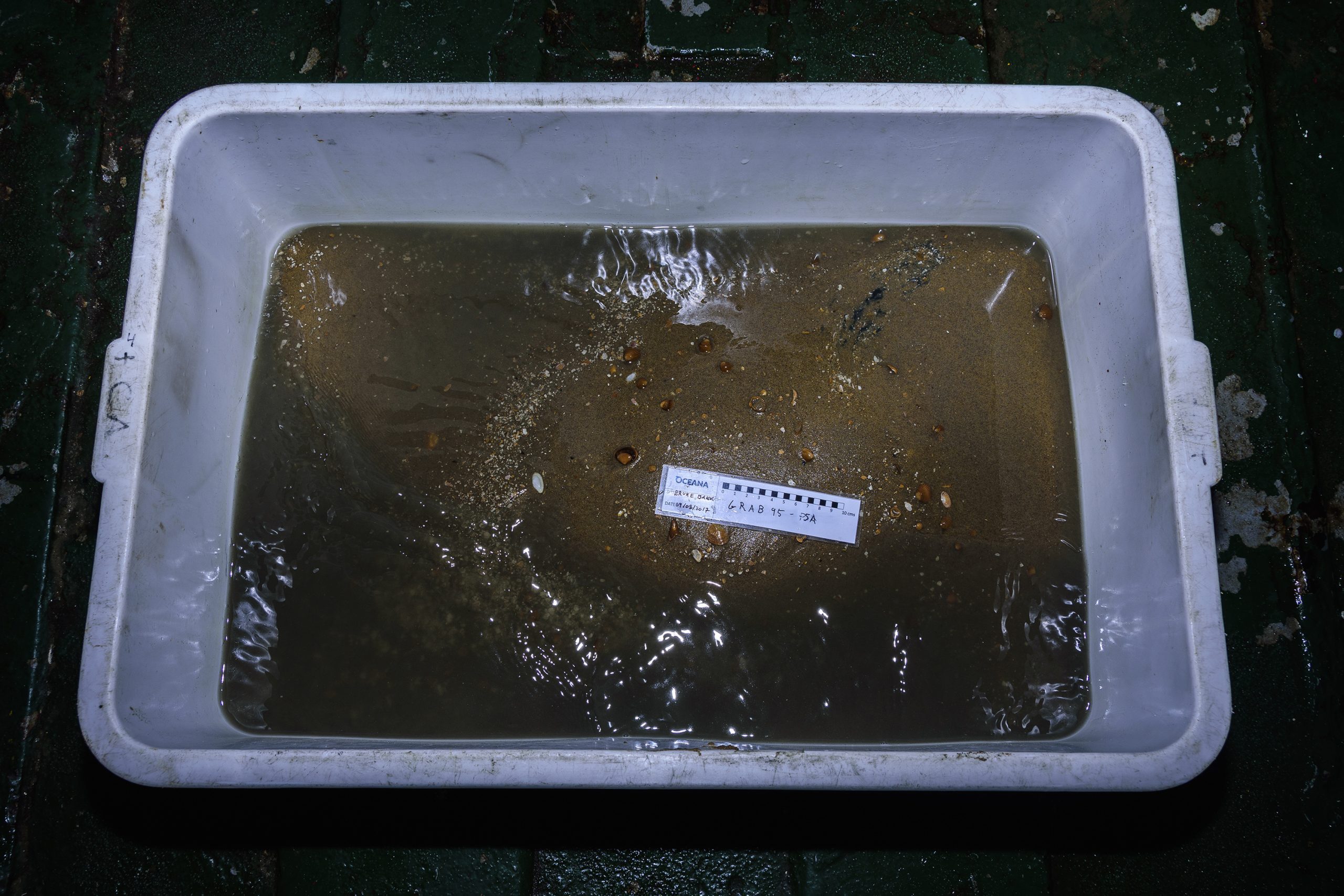 A sample from the Brune Bank. (Photo: OCEANA/Juan Cuetos)
O’Flynn also took samples from the seabed. These not only revealed the composition of gravel, sand and mud, but it also showed the animals that live there. These were mainly worms, starfish and shellfish. As a NIOZ researcher, O’Flynn wants to find out why certain species inhabit particular spots and not elsewhere.
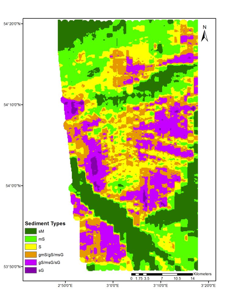 The most detailed map of the seabed was a 25-30 kilometre wide track of the Cleaver bank. Colours indicate the soil composition. (Image: Leo Koop/TU Delft)
In less than two weeks’ time, Koop has acquired 400 gigabyte of sonar data. The analysis is going to take months, he says. The maps he produces are the most detailed yet on the composition of the seabed. The colours indicate the local mixture of gravel, sand and mud.
Researchers will correlate sonar data with video and grab samples. They hope they can identify spots from sonar images where video and sampling show biological activity. This would align with DISCLOSE’s targets of identifying vulnerable areas of the seafloor. The North Sea Foundation (Stichting de Noordzee, or SDN) translates the expedition’s scientific findings into policy recommendations. Policy-makers can use this information in the planning of fisheries, shipping lanes, off-shore wind parks and oil and gas production in the North Sea. Project DISCLOSE is supported by the Gieskes Strijbis Fund.
Do you have a question or comment about this article?
j.w.wassink@tudelft.nl
Comments are closed.